The Center sits on a high bluff overlooking the Missouri River. We take you inside on the next post, but first join us as we climb down steps and explore a portion of the bike/hike trail that follows the river.
Here are some of the sights we saw as we walked the trail as far as Giant Springs State Park. As we walk, we are following in the footsteps of Lewis and Clark.
There are a lot of swallows around this year. This cliffside was obviously a location they enjoy.
Giant Springs State Park is a day use site that also is home to a Montana Fish & Wildlife Hatchery.
Giant Springs was discovered by the Lewis and Clark Expedition in 1805 as the expedition struggled to portage around the Great Falls of the Missouri, near the present-day city of Great Falls. Captain Lewis stumbled upon the natural wonder on June 18, 1805. This is also the site of the Roe River, listed in the Guinness Book of World Records as the world's shortest river. Giant Springs, one of the largest freshwater springs in the world, flows at a measured 338 million gallons of water per day! The water stays at a temperature of 54 degrees.
Really beautiful colors...and so clear!
The little bridge marks where the spring empties into the Roe River and in a few feet, into the muddy Missouri River.
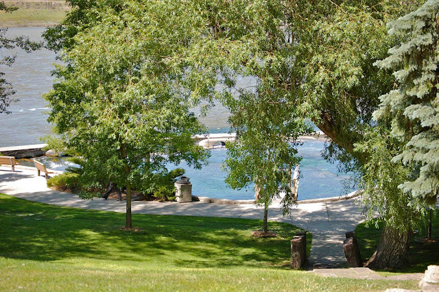
There is a beautiful picnic area on the hillside above the spring.
After taking a break in the shade, we decided to visit the several areas of falls that prompted the indians to name the area Great Falls.

Curving Falls
You may notice that each falls includes the addition of a hydro-electric facility to mar the view. I am sure Lewis and Clark would not appreciate the changes. Below is a sculpture that sits on a bluff above the river where it is thought the two explorers and Sacagawea might have reviewed their travel options. Although the sculpture sits along the 10-mile bike trail, we could not figure out how to access the trail and so we took the shot from above.
The day was passing too quickly and we only were able to visit one more falls. Ryan Falls is about 10 miles outside of town. While driving there, we started to feel that we had been transported to the upper plateau of Idaho.
After miles of nothing but wheat fields, we finally arrived at the steep descent down to Ryan Dam.
The viewing area/picnic area was on a small island at the foot of the falls...accessible only by a swinging bridge.
I'll let the pictures speak for themselves....
Fortunately, we only heard the sound of rushing water.
The picnic and viewing areas were very nice. There was a small building with a display clearly intended early-on to justify the presence of the dam.
A short walking trail brought us to the viewing area.
We enjoyed both the falls and the beautiful flora.


Great post and pictures Mary. Looked like a great side trip. We saw Great Falls in 1987, the year we did the float trip down the Missouri.
ReplyDelete